
 LIBERANDUM · 3D MODEL
Liberandum · Handheld RF direction finder
Liberandum
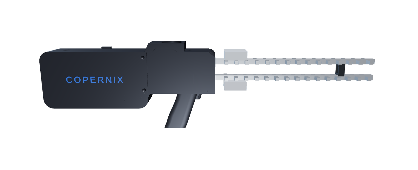
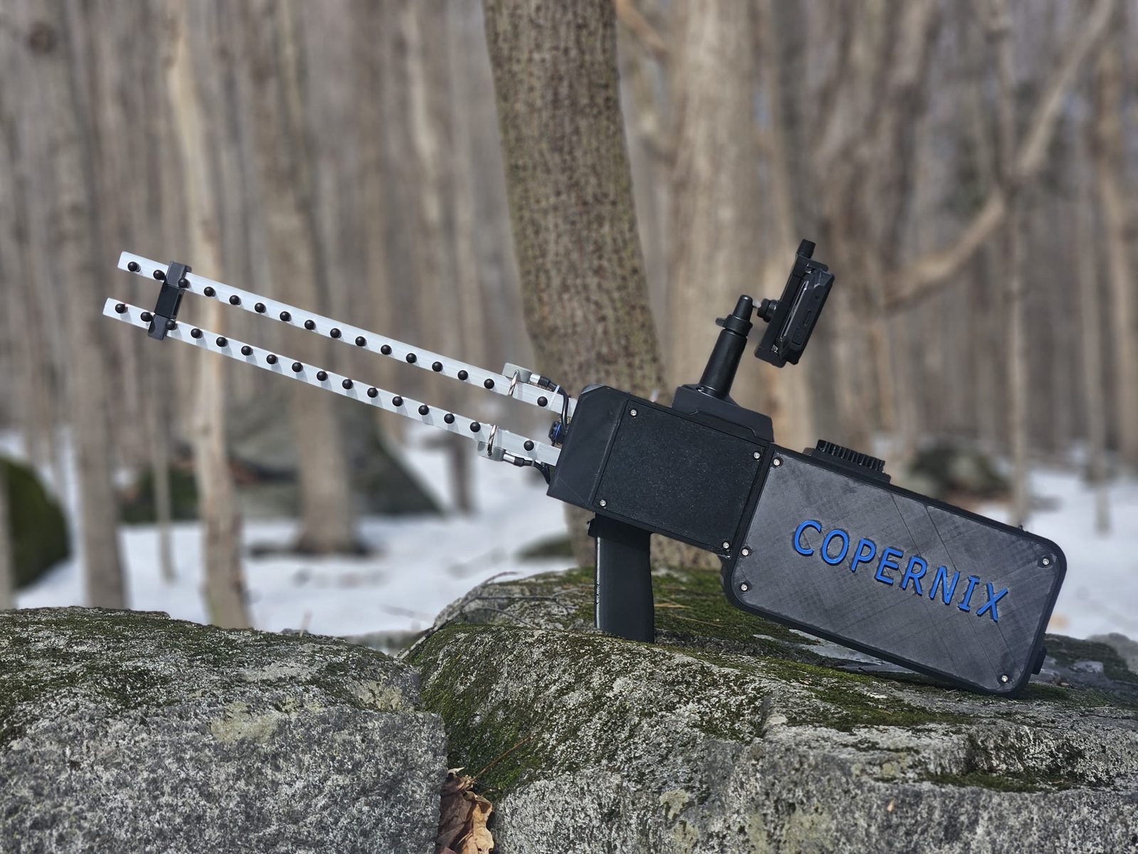
The handheld Vestarax unit: two directional antennas, a receiver from 1 MHz to 6 GHz, and a rugged phone that shows the operator which way to walk.
In service with the SUMI teams of the MRC de Matawinie and with AQBRS in Estrie. In a simulation with the fire department, two operators with a Liberandum ran a real 52-hour search again, from the information the Sûreté du Québec had given at the time, and found the device in about 5 hours.
Inside the Liberandum
Two antennas, one receiver, one bearing.
The Liberandum listens without transmitting. It never pings, jams or interrogates the device it is looking for: it hears it, sorts it from the background and tells the operator which way to walk.
- 01Detect
Two directional antennas
A pair of directional antennas at the front of the unit. Together they resolve a single bearing on the source.
- 02Receive
A software-defined receiver, 1 MHz to 6 GHz
Cellular, handheld radio, Wi-Fi, Bluetooth and drone control links, in one receive chain. Passive: it only listens.
- 03Understand
The Vestarax engine
AI-assisted classification, with Copernix's Orion AI, separates the target from background traffic, so the operator follows one signal.
- 04Act
A bearing on the operator's screen
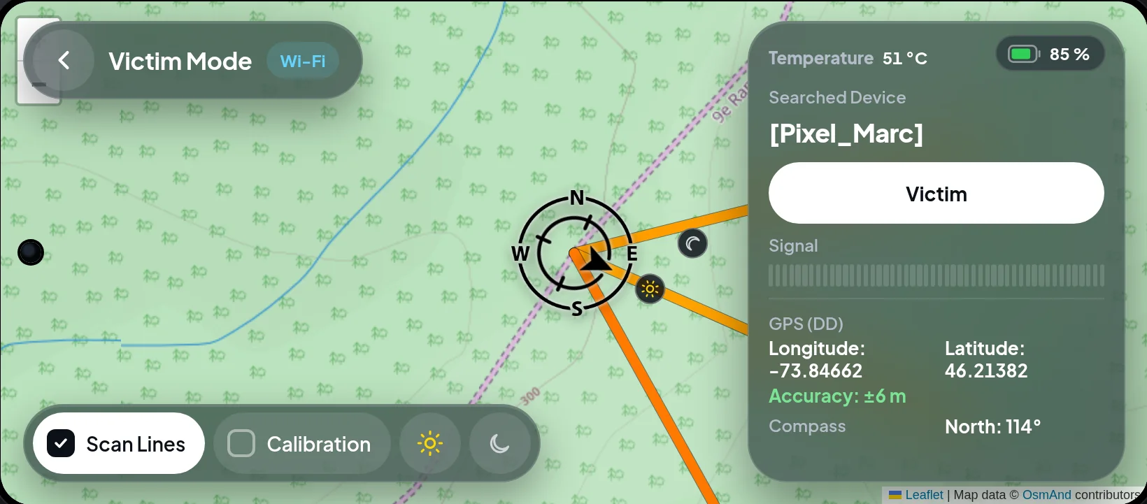
A rugged phone on the unit shows the bearing, the map and the scan history. About 120 m in deep woods, 700 m in the mountains, 2.5 km+ in the open.
Operator software
Three ways to read a signal.
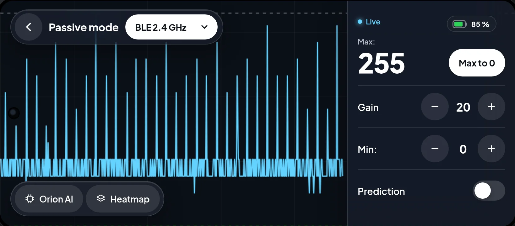
These are captures of the Liberandum's own software. Operators switch modes as the search narrows: find where the signal is, map it, then confirm whose device it is.
Passive heatmap mode
Cover ground, then read the map.
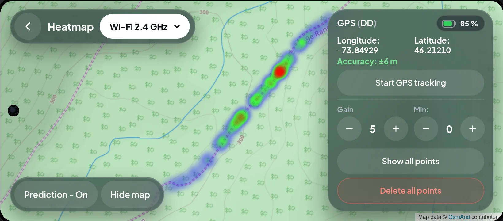
Passive Heatmap takes the readings from the passive graph and paints them on a live map, at the exact GPS position where each one was received. Mount the Liberandum on a vehicle or a drone, cover a sector, and the strongest emission shows up in red.
- 01Record
Every reading has a position
The phone's GPS tags each passive reading as you drive a road or fly a grid.
- 02Read
Hot spots, not peaks
Blue is weak, red is strongest. Gain and Min recolour the points to bring out the source.
- 03Narrow
Send the team to the red
Switch back to passive or active mode on foot, starting from the sector that lit up.
Directional range
Range depends on terrain
Trees absorb RF. Ridges block it. We publish the short number next to the long one so a search manager can size the grid.
BARS TO LINEAR SCALE
Paid field trial
See it find a signal.
Paid field trials. Two Copernix staff come to your terrain, train your team and run a blind test. Travel is quoted as a fixed package.